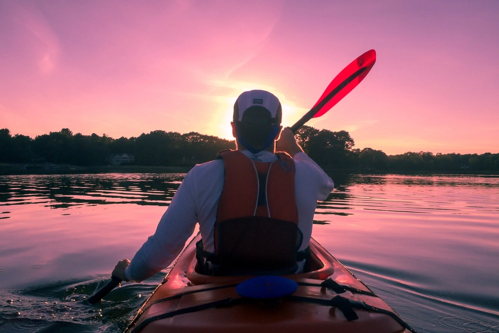
Paddle Explorer automatically maps every way onto the water near you - launches and ramps, canoe & kayak access, whitewater put-ins, rentals and marinas - then scores the conditions for your craft, flags the hazards, plans your route, and can email you the moment the best windows open.
Stop stitching together five apps and a paper tide table. Paddle Explorer finds the spots, reads the water, and plans the day for you.
Automatically maps public launches and ramps, canoe and kayak access points, whitewater put-ins and egresses, marinas and beaches near any stretch of water.
No boat of your own? It finds nearby kayak and paddleboard rental spots too, so you can plan a paddle just about anywhere you go.
Wind, gusts, rain, temperature and UV become one Great-to-Unsafe score, tuned to how kayaks, canoes, paddleboards, surfskis and rowing shells really handle.
Nearest NOAA tide station, live river gauges and EPA water-quality readings - so you catch the water moving with you, and know it is clean before you launch.
Flip on a live animated wind layer and see the breeze stream across the map - colour-coded from calm blue to gusty red - so you can spot sheltered water and pick the side of the lake that is working.
Draw your own line and watch each leg snap to the river channel, or let Surprise me sketch a loop of the distance you choose - paddling distance and current worked out for you.
See paddler-reported low-head dams, weirs, strainers, rapids and required portages on the map - flagged Danger, Caution or Info, and confirmed by fellow paddlers.
Set a conditions alert on any spot and we will email you when a Great or Good window opens for your craft - so you never miss the calm morning or the perfect tide.
A colour-coded multi-day outlook to spot your best day, plus saved spots and a logbook to keep favourites and track the paddles you have done.
Most of the work happens automatically - you just choose where, and when.
Search a place or tap the map. Paddle Explorer scans the area for launches, access points, rentals and marinas, and finds the nearest tide station and gauges.
Pick your craft and read every spot and day, scored Great to Unsafe from live wind, tide, flow, weather and water quality.
Draw a route that snaps to the river or let it surprise you with a loop, check reported hazards, save the spots you love, and keep a logbook.
Download a calendar file or connect Google for one-click events and friend invites - or set an alert and let us email you the next time conditions line up.
Found your window? Lock it in however suits you. A Google account is completely optional.
Export your chosen paddle windows as a standard calendar file (.ics) and open it on any device. It drops straight into your calendar - no sign-in, no permissions, nothing to connect.
Prefer one click? Link your Google account and Paddle Explorer can add windows as events automatically - and let you invite friends along from your contacts. Optional, and you can disconnect any time.
Everything core works with no account at all. If you do connect Google, here is exactly what it is for - and nothing more.
Only if you connect it: when you choose a window, Paddle Explorer can add it to your Google Calendar as an event. We only create events you ask us to, and never read or change your other entries. Prefer not to? Use the calendar-file download instead.
Only if you connect it: so you can pick a friend as a guest on a planned paddle. You choose who, every time. We do not store your contact list or message anyone on your behalf.

Create a free account and see every launch, rental, hazard and perfect window near you - and get an email when the water looks good.